


A new Challenge!
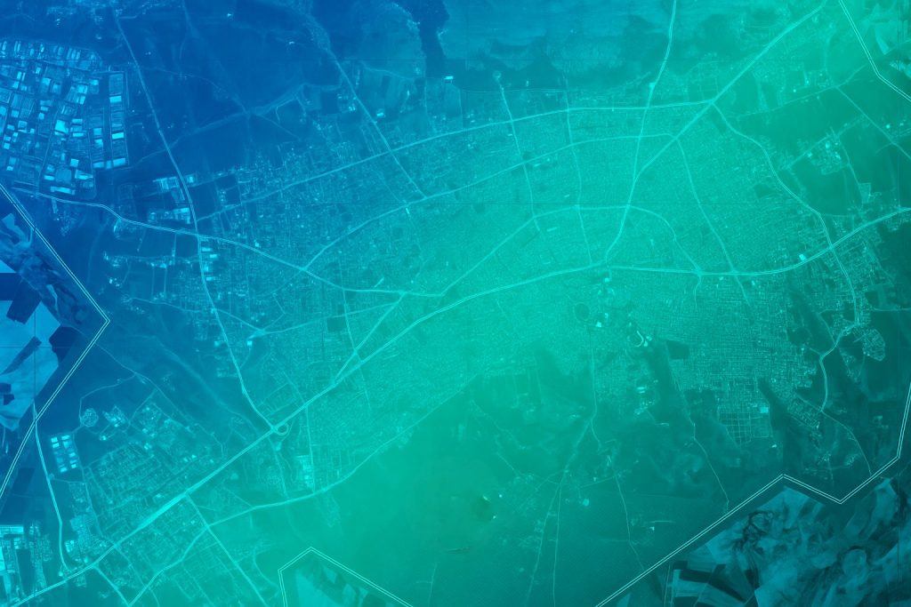
Producing accurate Digital Surface Models (DSM) and Digital Terrain Models (DTM) with ground cover information at a global scale remains a major challenge. Traditionally, these datasets rely on expensive airborne LiDAR surveys, which are not available everywhere.
To tackle this issue, for the first time ever, ESA Φ-lab Challenges partners with the International Telecommunication Union (ITU) and AI for Good, to present a new instance in the GeoAI series. The joint “Reaching new heights with GeoFM” Challenge, marks an important step toward creating a global mapping of surface heights and land‑cover classes using only open‑access satellite imagery.
By leveraging publicly available multispectral and SAR missions (particularly those from ESA’s Earth Observation portfolio) the effort aims to democratise access to elevation and land‑cover information that is typically restricted to well‑funded national or commercial programmes. A global, open, and regularly updated DSM–DTM–land‑cover dataset would directly support a wide range of applications aligned with the UN Sustainable Development Goals (SDGs). These include sustainable urban planning (SDG 11), climate resilience and disaster‑risk reduction (SDG 13), improved monitoring of forests and ecosystems (SDG 15), and more efficient water and land‑resource management (SDGs 6 and 2).
While one of the objectives is to advance EO‑based geospatial datasets for global sustainability, the outcomes can also support organisations such as the International Telecommunication Union (ITU), where improved surface and terrain information enhances the accuracy of radio‑wave propagation models and supports more efficient spectrum‑management practices.
A new mission!
The objective of this challenge is to investigate how embeddings generated by state-of-the-art Geospatial Foundation Models (GFMs)– including AlphaEarth, Tessera, and ESA-empowered TerraMind and THOR– can be leveraged for multi-task learning.
Participants will be provided with pre-computed embeddings from multiple geospatial foundation models and tasked with developing models that can effectively merge and utilize these embeddings to:
1️⃣ Perform segmentation of buildings and vegetation
2️⃣ Predict building and vegetation heights
This challenge offers a unique opportunity to explore 3D semantic segmentation and height estimation using foundation model representations. Participants are encouraged to experiment with innovative architectures, feature engineering approaches, and data fusion strategies to effectively combine the embeddings and achieve strong performance.
A new dataset!
Participants will be provided with pre-computed embeddings from multiple geospatial foundation models and tasked with developing models that can effectively merge and utilize these embeddings to perform 3D semantic segmentation of buildings and vegetation, and predict building and vegetation heights.
You are encouraged to experiment with innovative architectures, feature engineering approaches, and data fusion strategies to effectively combine the embeddings and achieve strong performance.
A new set of prizes!
Your work matters and is rewarded. The three winning teams will receive a cumulative cash prize of over 9000 EUR, made possible by ITU and ESA and distributed in CHF (ITU) and EUR (ESA).
- 1st place: 1500 CHF + 3000 EUR
- 2nd place: 1000 CHF + 2000 EUR
- 3rd place: 500 CHF + 1000 EUR

But there’s more: the top-three winning teams will have the opportunity to present their solutions during the AI for Good Summit 2026, which is hosted from 7 to 10 July 2026 in Geneva, Switzerland. On this occasion, the winning teams are expected to participate online and present their respective solutions in a pitch-style manner of ca. 10 minutes per team with the use of a short pitch-deck (for example, in the form of a PowerPoint presentation).
A new timeline!
- Launch: 8th April 2026
- Educational webinar: 8th April 2026, 14:00 CET
- Closing: 30th June 2026. Latest option for submissions at 23:59 CEST (Central European Summer Time) on this date.
- Award ceremony (AI for Good Global Summit): 7th –10th July 2026
Please refer to the rules page of our platform for more information.
A new set of partners!
The ESA Φ-lab is proud to present the GeoAI Challenge as part of ITU’s and AI for Good’s ongoing GeoAI Challenges
| The International Telecommunication Union ITU is the United Nations’ specialised agency for digital technologies (ICTs). The Organisation is made up of a membership of 194 Member States and more than 1000 companies, universities and international and regional organisations. Headquartered in Geneva, Switzerland, and with regional offices on every continent, ITU is the oldest agency in the UN family and has been connecting people for over 160 years.
ITU facilitates international connectivity in communication networks. We allocate global radio spectrum and satellite orbits, develop the technical standards that ensure networks and technologies connect seamlessly, and work to improve access to digital technologies in underserved communities worldwide. ITU works to bring digital connectivity to everyone, providing a trusted, multilateral platform to broker international agreements and standards, share knowledge, build capacity, and work with members and partners to spread access to technology around the world. |
| AI for Good is organised by ITU in partnership with 50 UN Sister Agencies. The goal of AI for Good is to identify practical applications of AI to advance the United Nations Sustainable Development Goals and scale those solutions for global impact. It’s the leading action-oriented, global & inclusive United Nations platform on AI. |
Why should you join?
Work with advanced geospatial foundation models
Use embeddings from state-of-the art Geospatial Foundation Models (e.g., Alpha Earth, TerraMind, Tessera, Thor) to perform multi-task learning, such as segmentation (assessment of cover type) and regression (height estimation of building and vegetation).
Produce real-world impact
Support planet-scale objectives, including the UN Sustainable Development Goals (SDGs), which need to rely on globally consistent datasets.
Win attractive prices
Position amongst the three winning teams to receive a cumulative cash prize of over 9000 EUR and the chance to present your solution in front of expert audiences from ITU and AI for Good.

